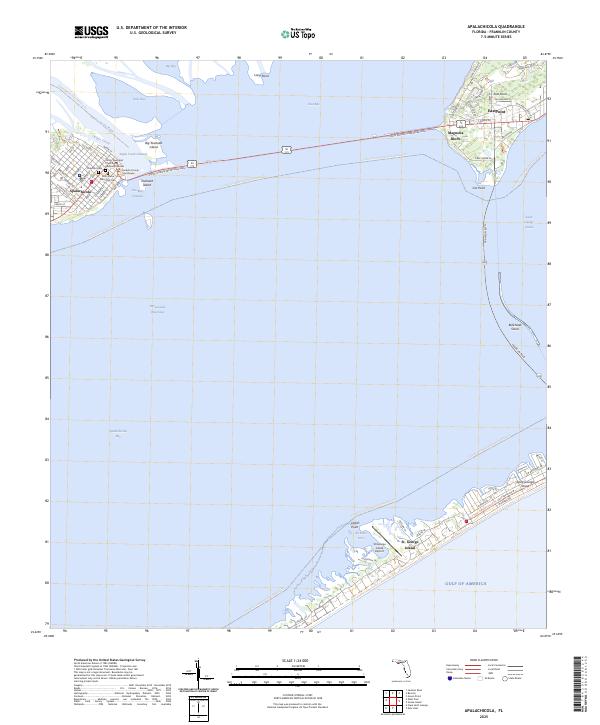
2025 Map of Apalachicola
USGS Topo · Published 2025About this map
Apalachicola serves as the focal point of this coastal survey, situated where the Apalachicola River meets the bay. The town's grid is dense with civic and religious landmarks, including the Franklin County Courthouse, the historic Trinity Episcopal Church, and the Chestnut Cem. The expansive John Gorrie Memorial Brg stretches across the water, connecting the mainland to Magnolia Bluffs and Eastpoint, illustrating the vital transportation links required for this maritime community.
Find a feature on this map
71 named features on this map. Tap any name to fly to it.
Don’t see what you’re looking for? This feature index may not catch every label — zoom into the map to look around manually.
Map Details
Editions of this 2025 Apalachicola Map
This is the sole edition of this map. No revisions or reprints were ever made.
Other maps of this area

1943 · West Pass
USGS Topo · 1:31,680

1943 · Apalachicola
USGS Topo · 1:31,680

1943 · Jackson River
USGS Topo · 1:24,000

1944 · Green Point
USGS Topo · 1:31,680

1944 · Apalachicola
USGS Topo · 1:24,000

1945 · Cape St. George
USGS Topo · 1:31,680

1945 · Beverly
USGS Topo · 1:31,680

1945 · Jackson River
USGS Topo · 1:31,680

1949 · Apalachicola
USGS Topo · 1:250,000

1950 · Goose Island
USGS Topo · 1:31,680