
1944 Map of Apalachicola
USGS Topo · Published 1960About this map
Apalachicola serves as the focal point of this coastal survey, situated at the mouth of the Apalachicola River where it meets the vast Apalachicola Bay. During the mid-1940s, the region's connectivity was defined by the John Gorrie Memorial Bridge, a long transit spanning the water to reach Eastpoint and the prominent Godleys Bluff. This geography highlights the critical relationship between the mainland town and its maritime environment, with Scipio Creek and numerous bayous like Alligator Bayou carving through the marshy transition to the river delta.
Find a feature on this map
21 named features on this map. Tap any name to fly to it.
Don’t see what you’re looking for? This feature index may not catch every label — zoom into the map to look around manually.
Map Details
Editions of this 1944 Apalachicola Map
This is the sole edition of this map. No revisions or reprints were ever made.
Other maps of this area

1943 · West Pass
USGS Topo · 1:31,680

1943 · Apalachicola
USGS Topo · 1:31,680

1943 · Jackson River
USGS Topo · 1:24,000

1944 · Green Point
USGS Topo · 1:31,680

1945 · Cape St. George
USGS Topo · 1:31,680

1945 · Beverly
USGS Topo · 1:31,680

1945 · Jackson River
USGS Topo · 1:31,680

1949 · Apalachicola
USGS Topo · 1:250,000

1950 · Goose Island
USGS Topo · 1:31,680
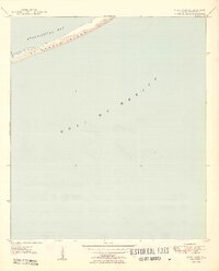
1950 · New Inlet
USGS Topo · 1:31,680