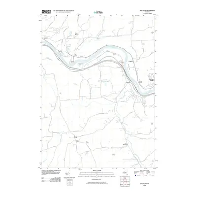
2010 Map of Apalachin
USGS Topo · Published 2010About this map
The Susquehanna River carves a winding path through this region of Tioga County, defining the local geography around Apalachin and Campville. The river is marked by the presence of Hiawatha Island and the expansive Kenny Flats, while the surrounding terrain rises to high points like Cafferty Hill and Lillie Hill. This landscape reflects a mix of small-scale residential development at Crest View Heights and enduring rural agricultural operations such as the Klett Farm.
Find a feature on this map
86 named features on this map. Tap any name to fly to it.
Don’t see what you’re looking for? This feature index may not catch every label — zoom into the map to look around manually.
Map Details
Editions of this 2010 Apalachin Map
This is the sole edition of this map. No revisions or reprints were ever made.
Other maps of this area

1901 · Apalachin
USGS Topo · 1:62,500

1903 · Owego
USGS Topo · 1:62,500

1904 · Apalachin
USGS Topo · 1:62,500

1906 · Catatonk
USGS Topo · 1:125,000

1923 · Towanda
USGS Topo · 1:62,500

1926 · Towanda
USGS Topo · 1:62,500

1943 · Towanda
USGS Topo · 1:62,500

1943 · Le Raysville
USGS Topo · 1:62,500

1945 · Le Raysville
USGS Topo · 1:62,500

1950 · Elmira
USGS Topo · 1:250,000