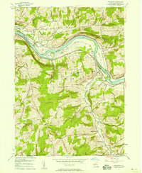
1956 Map of Apalachin
USGS Topo · Published 1958About this map
The Susquehanna River carves a deep valley through the southern tier of New York in this mid-century survey, defining the development of Owego and Apalachin. The landscape is dominated by the heavy infrastructure of the era, with the Erie RR and Delaware Lackawanna and Western RR hugging the riverbanks. These rail lines facilitated the growth of smaller settlements like Campville and provided vital connections for the agricultural uplands.
Find a feature on this map
39 named features on this map. Tap any name to fly to it.
Don’t see what you’re looking for? This feature index may not catch every label — zoom into the map to look around manually.
Map Details
Editions of this 1956 Apalachin Map
2 editions found
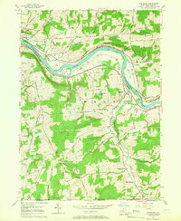
Other maps of this area

1901 · Apalachin
USGS Topo · 1:62,500

1903 · Owego
USGS Topo · 1:62,500

1904 · Apalachin
USGS Topo · 1:62,500

1906 · Catatonk
USGS Topo · 1:125,000

1923 · Towanda
USGS Topo · 1:62,500

1926 · Towanda
USGS Topo · 1:62,500

1943 · Towanda
USGS Topo · 1:62,500

1943 · Le Raysville
USGS Topo · 1:62,500

1945 · Le Raysville
USGS Topo · 1:62,500

1950 · Elmira
USGS Topo · 1:250,000