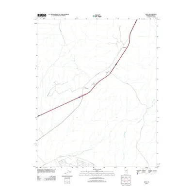
2012 Map of Apex
USGS Topo · Published 2012About this map
Apex and the nearby siding of Arrolime occupy a pivotal high point in the desert landscape northeast of Las Vegas. At the center of the sheet, Apex Summit marks the natural crest where the terrain begins to slope away toward the drainage of Gypsum Wash. This early 21st-century survey documents the transition of this arid corridor from a simple transit route into a more developed logistical hub.
Find a feature on this map
17 named features on this map. Tap any name to fly to it.
Don’t see what you’re looking for? This feature index may not catch every label — zoom into the map to look around manually.
Map Details
Editions of this 2012 Apex Map
This is the sole edition of this map. No revisions or reprints were ever made.
Other maps of this area

1886 · Saint Thomas
USGS Topo · 1:250,000

1893 · Saint Thomas
USGS Topo · 1:250,000

1907 · Las Vegas
USGS Topo · 1:250,000

1908 · Las Vegas
USGS Topo · 1:250,000

1926 · Boulder Canyon
USGS Topo · 1:96,000

1952 · Gass Peak
USGS Topo · 1:62,500

1952 · Dry Lake
USGS Topo · 1:62,500

1952 · Henderson
USGS Topo · 1:62,500

1952 · Las Vegas
USGS Topo · 1:62,500

1954 · Las Vegas
USGS Topo · 1:250,000