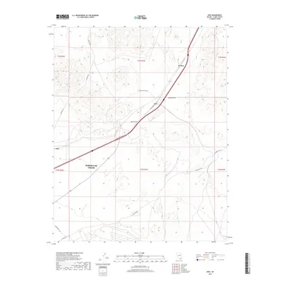
2018 Map of Apex
USGS Topo · Published 2018About this map
North Las Vegas territory dominates the southern reach of this landscape, where the urban periphery meets the stark expanse of the Mojave Desert. The map centers on the critical transportation corridor of the Apex Summit, a high point along the interstate and rail routes that connect the Las Vegas valley to points north. Small industrial or transit settlements like Arrolime, Apex, and Dike punctuate the arid terrain, highlighting the infrastructure-heavy nature of the region.
Find a feature on this map
18 named features on this map. Tap any name to fly to it.
Don’t see what you’re looking for? This feature index may not catch every label — zoom into the map to look around manually.
Map Details
Editions of this 2018 Apex Map
This is the sole edition of this map. No revisions or reprints were ever made.
Other maps of this area

1886 · Saint Thomas
USGS Topo · 1:250,000

1893 · Saint Thomas
USGS Topo · 1:250,000

1907 · Las Vegas
USGS Topo · 1:250,000

1908 · Las Vegas
USGS Topo · 1:250,000

1926 · Boulder Canyon
USGS Topo · 1:96,000

1952 · Gass Peak
USGS Topo · 1:62,500

1952 · Dry Lake
USGS Topo · 1:62,500

1952 · Henderson
USGS Topo · 1:62,500

1952 · Las Vegas
USGS Topo · 1:62,500

1954 · Las Vegas
USGS Topo · 1:250,000