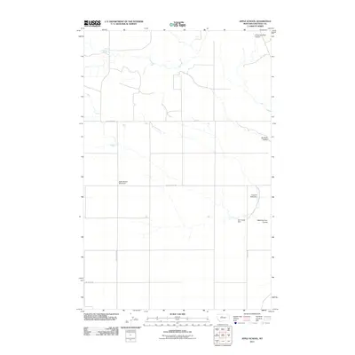
2011 Map of Apple School
USGS Topo · Published 2011About this map
The site of the Apple School (Historical) anchors this portion of north-central Montana, where the landscape is defined by the sharp incisions of coulees and the practical infrastructure of rural ranching. In this high-plains environment, water management is evident through features like Good Ol West Dam and Sour Apple Dam, which serve to capture runoff in a territory carved by Chimney Rock Coulee and the Dry Fork Coulee. The rectilinear grid of section roads, including Buck Bridge Rd and Apple School Rd, underscores the systematic division of the land for agricultural use. This survey provides a precise look at the drainage patterns of the West Dry Fork Coulee, illustrating the sparse but deliberate human imprint on the Chouteau County terrain during the early twenty-first century.
Find a feature on this map
11 named features on this map. Tap any name to fly to it.
Don’t see what you’re looking for? This feature index may not catch every label — zoom into the map to look around manually.
Map Details
Editions of this 2011 Apple School Map
This is the sole edition of this map. No revisions or reprints were ever made.
Other maps of this area

1886 · Great Falls
USGS Topo · 1:250,000

1890 · Fort Benton
USGS Topo · 1:250,000

1892 · Fort Benton
USGS Topo · 1:250,000

1897 · Fort Benton
USGS Topo · 1:250,000

1950 · Dent Bridge
USGS Topo · 1:62,500

1953 · Carter
USGS Topo · 1:24,000

1953 · Tunis
USGS Topo · 1:24,000

1954 · Great Falls
USGS Topo · 1:250,000

1954 · Shelby
USGS Topo · 1:250,000

1957 · Great Falls
USGS Topo · 1:250,000