
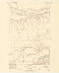
1953 Map of Carter
USGS Topo · Published 1954About this map
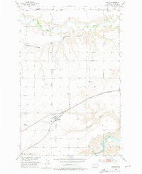
The Great Northern railroad corridor serves as the primary axis of development across this Montana landscape, connecting the small settlement of Carter to the wider grain-producing region. Surveyed during the early 1950s, the map reveals a prairie geography defined by deep drainage systems like Weatherwax Coulee and Bullhead Coulee that feed into the major waterways. The northern edge is traced by the Teton River, while the southern boundary follows the winding course of the Missouri River.
Find a feature on this map
18 named features on this map. Tap any name to fly to it.
Don’t see what you’re looking for? This feature index may not catch every label — zoom into the map to look around manually.
Map Details
Editions of this 1953 Carter Map
3 editions found
Other maps of this area

1886 · Great Falls
USGS Topo · 1:250,000

1890 · Fort Benton
USGS Topo · 1:250,000

1892 · Fort Benton
USGS Topo · 1:250,000

1897 · Fort Benton
USGS Topo · 1:250,000

1948 · Portage
USGS Topo · 1:62,500

1949 · Portage
USGS Topo · 1:62,500

1950 · Dent Bridge
USGS Topo · 1:62,500

1953 · Tunis
USGS Topo · 1:24,000

1954 · Great Falls
USGS Topo · 1:250,000

1954 · Rice Reservoir
USGS Topo · 1:24,000