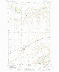
1953 Map of Carter
USGS Topo · Published 1976About this map
Carter serves as the central hub of this Chouteau County landscape, situated where the Great Northern railroad cuts through the high plains. The topography is defined by the deep incisions of the Teton River in the north and the Missouri River in the southeast, with significant drainage features like Weatherwax Coulee and Bullhead Coulee shaping the descent toward the water. A shifting landscape is evident in the notes of discontinued services, including the Carter Ferry (Aband) on the Missouri and the Baack School (Aband) to the north. These markings, along with the O'Reilly School, provide a specific look at the rural educational and transit infrastructure that supported the region's agricultural development during the early 1950s.
Find a feature on this map
16 named features on this map. Tap any name to fly to it.
Don’t see what you’re looking for? This feature index may not catch every label — zoom into the map to look around manually.
Map Details
Editions of this 1953 Carter Map
3 editions found
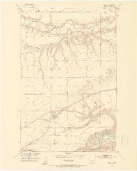
Other maps of this area

1886 · Great Falls
USGS Topo · 1:250,000

1890 · Fort Benton
USGS Topo · 1:250,000

1892 · Fort Benton
USGS Topo · 1:250,000

1897 · Fort Benton
USGS Topo · 1:250,000

1948 · Portage
USGS Topo · 1:62,500

1949 · Portage
USGS Topo · 1:62,500

1950 · Dent Bridge
USGS Topo · 1:62,500

1953 · Carter
USGS Topo · 1:24,000

1953 · Tunis
USGS Topo · 1:24,000

1954 · Great Falls
USGS Topo · 1:250,000