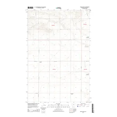
2014 Map of Apple School
USGS Topo · Published 2014About this map
Apple School (historical) serves as the primary historical landmark on this high-plains landscape, situated along the intersection of Apple School Rd and Buck Bridge Rd. The terrain is defined by a network of drainage channels including Chimney Rock Coulee and Frank Gilbert Coulee, which carve through the elevations of Chouteau County. This 2014 survey documents the enduring sectional grid system, with large agricultural or ranching tracts divided by rural routes such as Zion Rd and Jackson Rd. The presence of labels like Dry Fork Coulee and West Dry Fork Coulee suggests the intermittent nature of local waterways in this portion of North Central Montana.
Find a feature on this map
22 named features on this map. Tap any name to fly to it.
Don’t see what you’re looking for? This feature index may not catch every label — zoom into the map to look around manually.
Map Details
Editions of this 2014 Apple School Map
This is the sole edition of this map. No revisions or reprints were ever made.
Other maps of this area

1886 · Great Falls
USGS Topo · 1:250,000

1890 · Fort Benton
USGS Topo · 1:250,000

1892 · Fort Benton
USGS Topo · 1:250,000

1897 · Fort Benton
USGS Topo · 1:250,000

1950 · Dent Bridge
USGS Topo · 1:62,500

1953 · Carter
USGS Topo · 1:24,000

1953 · Tunis
USGS Topo · 1:24,000

1954 · Great Falls
USGS Topo · 1:250,000

1954 · Shelby
USGS Topo · 1:250,000

1957 · Great Falls
USGS Topo · 1:250,000