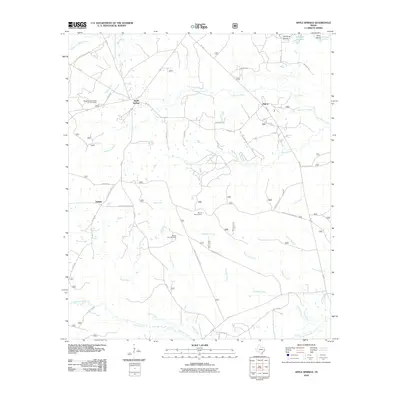
2010 Map of Apple Springs
USGS Topo · Published 2010About this map
Apple Springs and the surrounding piney woods of Trinity County are detailed here in a landscape defined by an intricate network of forest roads and creek drainages. The map centers on the small communities of Helmic, Nigton, and the namesake Apple Springs, which hosts the Apple Springs Forest Service Facility. This area is characterized by its rural infrastructure, where family-named routes like Womack Rd and Fernandez Rd connect isolated homesteads to larger thoroughfares like FM-357.
Find a feature on this map
47 named features on this map. Tap any name to fly to it.
Don’t see what you’re looking for? This feature index may not catch every label — zoom into the map to look around manually.
Map Details
Editions of this 2010 Apple Springs Map
This is the sole edition of this map. No revisions or reprints were ever made.
Other maps of this area

1949 · Keltys
USGS Topo · 1:24,000

1950 · Keltys
USGS Topo · 1:24,000

1950 · Centralia
USGS Topo · 1:24,000

1951 · Wells SW
USGS Topo · 1:24,000

1951 · Centralia
USGS Topo · 1:24,000

1953 · Palestine
USGS Topo · 1:250,000

1957 · Palestine
USGS Topo · 1:250,000

1963 · Crecy
USGS Topo · 1:24,000

1963 · Groveton East
USGS Topo · 1:24,000
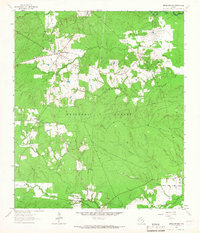
1963 · Apple Springs
USGS Topo · 1:24,000