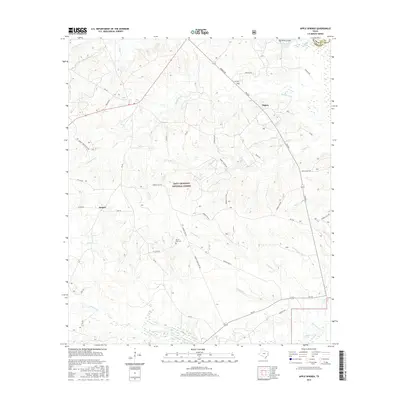
2016 Map of Apple Springs
USGS Topo · Published 2016About this map
Davy Crockett National Forest dominates this East Texas landscape, where the headwaters of numerous creeks carve through the piney woods of Trinity and Angelina counties. The settlement of Apple Springs sits at a crossroads in the northwest, while the community of Nigton is positioned to the east. A network of rural routes, including FM 357 and FM 2262, connects these small towns and local landmarks.
Find a feature on this map
44 named features on this map. Tap any name to fly to it.
Don’t see what you’re looking for? This feature index may not catch every label — zoom into the map to look around manually.
Map Details
Editions of this 2016 Apple Springs Map
This is the sole edition of this map. No revisions or reprints were ever made.
Other maps of this area

1949 · Keltys
USGS Topo · 1:24,000

1950 · Keltys
USGS Topo · 1:24,000

1950 · Centralia
USGS Topo · 1:24,000

1951 · Wells SW
USGS Topo · 1:24,000

1951 · Centralia
USGS Topo · 1:24,000

1953 · Palestine
USGS Topo · 1:250,000

1957 · Palestine
USGS Topo · 1:250,000

1963 · Crecy
USGS Topo · 1:24,000

1963 · Groveton East
USGS Topo · 1:24,000
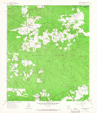
1963 · Apple Springs
USGS Topo · 1:24,000