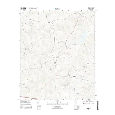
2014 Map of Appling
USGS Topo · Published 2014About this map
Appling sits at the heart of this Columbia County landscape, where the road network converges near Kiokee Creek and Greenbrier Creek. The 2014 survey documents a mix of traditional rural settlements and modern residential expansion. Locations like Phinizy, Howell, and Pollards Corner define the northern and central portions of the map, while Maddox anchors the eastern side along Columbia RD.
Find a feature on this map
85 named features on this map. Tap any name to fly to it.
Don’t see what you’re looking for? This feature index may not catch every label — zoom into the map to look around manually.
Map Details
Editions of this 2014 Appling Map
This is the sole edition of this map. No revisions or reprints were ever made.
Other maps of this area

1892 · Mc Cormick
USGS Topo · 1:125,000

1912 · Mc Cormick
USGS Topo · 1:125,000

1920 · Clarks Hill
USGS Topo · 1:48,000

1921 · Clarks Hill
USGS Topo · 1:62,500

1921 · Appling
USGS Topo · 1:62,500

1922 · Harlem
USGS Topo · 1:62,500

1922 · Hephzibah
USGS Topo · 1:62,500

1941 · Clarks Hill
USGS Topo · 1:62,500

1942 · Clarks Hill
USGS Topo · 1:62,500

1943 · Appling
USGS Topo · 1:62,500