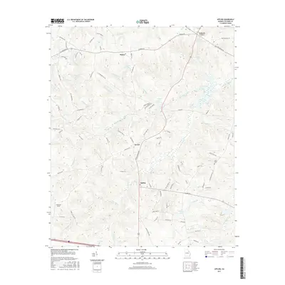
2017 Map of Appling
USGS Topo · Published 2017About this map
The unincorporated community of Appling serves as a focal point in this portion of Columbia County, where the landscape is defined by the dendritic drainage patterns of Kiokee Creek and Greenbrier Creek. This 2017 study illustrates a rural-suburban hybrid environment, where modern residential roads like Heggies Ridge Dr and William Norman Ln intersect with older rural thoroughfares such as Cobbham Rd and Washington Rd.
Find a feature on this map
92 named features on this map. Tap any name to fly to it.
Don’t see what you’re looking for? This feature index may not catch every label — zoom into the map to look around manually.
Map Details
Editions of this 2017 Appling Map
This is the sole edition of this map. No revisions or reprints were ever made.
Other maps of this area

1892 · Mc Cormick
USGS Topo · 1:125,000

1912 · Mc Cormick
USGS Topo · 1:125,000

1920 · Clarks Hill
USGS Topo · 1:48,000

1921 · Clarks Hill
USGS Topo · 1:62,500

1921 · Appling
USGS Topo · 1:62,500

1922 · Harlem
USGS Topo · 1:62,500

1922 · Hephzibah
USGS Topo · 1:62,500

1941 · Clarks Hill
USGS Topo · 1:62,500

1942 · Clarks Hill
USGS Topo · 1:62,500

1943 · Appling
USGS Topo · 1:62,500