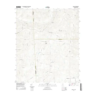
2014 Map of Aquilla
USGS Topo · Published 2014About this map
The borderlands of Alabama and Mississippi intersect in this 2014 survey, where the pine-wooded hills of Choctaw and Washington Counties meet Wayne County to the west. Small settlements like Aquilla and Shady Grove serve as local anchors in a landscape defined by an intricate network of creeks and branches. The terrain is deeply incised by Turkey Creek and Red Creek, flowing through a region where family-named roads like Jones Walker Loop Road and Lamar Ramey Drive suggest a long history of local landholding. For genealogists, the map is particularly valuable for its documentation of numerous burial sites, including Old Aquilla Cemetery, Mt Zion Cemetery, and North Oak Grove Cemetery. Small water bodies such as Lake Ola and Lake Gypsy are also noted among the many tributaries like Whiskey Creek and Horseshoe Branch.
Find a feature on this map
68 named features on this map. Tap any name to fly to it.
Don’t see what you’re looking for? This feature index may not catch every label — zoom into the map to look around manually.
Map Details
Editions of this 2014 Aquilla Map
This is the sole edition of this map. No revisions or reprints were ever made.
Other maps of this area

1953 · Hattiesburg
USGS Topo · 1:250,000

1958 · Hattiesburg
USGS Topo · 1:250,000

1964 · Denham
USGS Topo · 1:24,000

1964 · Buckatunna
USGS Topo · 1:24,000

1964 · Matherville
USGS Topo · 1:24,000

1974 · Millry South
USGS Topo · 1:24,000

1974 · Millry North
USGS Topo · 1:24,000

1974 · Silas
USGS Topo · 1:24,000

1974 · Copeland
USGS Topo · 1:24,000

1974 · Isney
USGS Topo · 1:24,000