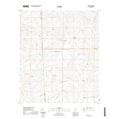
2020 Map of Aquilla
USGS Topo · Published 2020About this map
The Mississippi Alabama state line and the intersection of Wayne, Choctaw, and Washington counties define this rural borderland. The landscape is characterized by a dense network of creek drainages, including Turkey Cr, Red Creek, and Sandy Cr, which carve through the terrain between small upland settlements like Aquilla and Chapel Hill. Local history is anchored by numerous family and community burial grounds, such as Old Aquilla Cem and the North Oak Grove Cem, indicating long-standing settlement patterns in the piney woods.
Find a feature on this map
76 named features on this map. Tap any name to fly to it.
Don’t see what you’re looking for? This feature index may not catch every label — zoom into the map to look around manually.
Map Details
Editions of this 2020 Aquilla Map
This is the sole edition of this map. No revisions or reprints were ever made.
Other maps of this area

1953 · Hattiesburg
USGS Topo · 1:250,000

1958 · Hattiesburg
USGS Topo · 1:250,000

1964 · Denham
USGS Topo · 1:24,000

1964 · Buckatunna
USGS Topo · 1:24,000

1964 · Matherville
USGS Topo · 1:24,000

1974 · Millry South
USGS Topo · 1:24,000

1974 · Millry North
USGS Topo · 1:24,000

1974 · Silas
USGS Topo · 1:24,000

1974 · Copeland
USGS Topo · 1:24,000

1974 · Isney
USGS Topo · 1:24,000