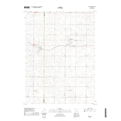
2018 Map of Arcadia
USGS Topo · Published 2018About this map
Arcadia and Westside anchor this western Iowa landscape, where the agricultural grid meets the drainage divides between the Missouri and Mississippi River basins. Located along the boundary of Crawford and Carroll counties, the area is defined by the winding course of the East Boyer River and the headwaters of the West Nishnabotna River. These waterways, along with Brushy Creek and Mahler Creek, dictate the subtle topography that shapes the local road network, which follows a strict township and range alignment except where it adapts to these stream valleys.
Find a feature on this map
50 named features on this map. Tap any name to fly to it.
Don’t see what you’re looking for? This feature index may not catch every label — zoom into the map to look around manually.
Map Details
Editions of this 2018 Arcadia Map
This is the sole edition of this map. No revisions or reprints were ever made.
Other maps of this area

1954 · Omaha
USGS Topo · 1:250,000

1954 · Fort Dodge
USGS Topo · 1:250,000

1957 · Omaha
USGS Topo · 1:250,000

1957 · Fort Dodge
USGS Topo · 1:250,000

1958 · Omaha
USGS Topo · 1:250,000

1958 · Fort Dodge
USGS Topo · 1:250,000

1971 · Templeton
USGS Topo · 1:24,000

1978 · Manilla
USGS Topo · 1:24,000

1978 · Manning
USGS Topo · 1:24,000

1980 · Breda
USGS Topo · 1:24,000