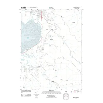
2012 Map of Arcata South
USGS Topo · Published 2012About this map
Humboldt State University and the southern neighborhoods of Arcata anchor this coastal landscape, where the urban grid meets the complex wetlands of the Pacific Ocean margin. The terrain is defined by the transition from the Bayside Bottoms up into the timbered slopes of Fickle Hill and Granite Butte. A network of gulches, including Washington Gulch, Rocky Gulch, and Graham Gulch, carve the eastern hills and drain into the expansive slough system. Notable settlements such as Sunny Brae, Bayside, and Freshwater trace the historical development patterns between the highlands and the water.
Find a feature on this map
104 named features on this map. Tap any name to fly to it.
Don’t see what you’re looking for? This feature index may not catch every label — zoom into the map to look around manually.
Map Details
Editions of this 2012 Arcata South Map
This is the sole edition of this map. No revisions or reprints were ever made.
Other maps of this area

1922 · Eureka
USGS Topo · 1:62,500

1922 · Korbel
USGS Topo · 1:62,500

1922 · Kneeland
USGS Topo · 1:62,500

1933 · Eureka
USGS Topo · 1:48,000

1942 · Eureka
USGS Topo · 1:62,500

1944 · Fortuna
USGS Topo · 1:62,500

1945 · Blue Lake
USGS Topo · 1:62,500

1949 · Eureka
USGS Topo · 1:250,000

1950 · Iaqua Buttes
USGS Topo · 1:62,500

1951 · Eureka
USGS Topo · 1:62,500