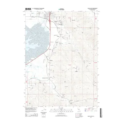
2015 Map of Arcata South
USGS Topo · Published 2015About this map
Arcata serves as the focal point for this 2015 survey, anchoring the northern edge of Humboldt Bay where the Arcata Bottoms meet the rising elevations of the redwood-rich coast. The map illustrates a landscape defined by the intricate hydrology of the northern California coastline, featuring numerous tidal channels and sloughs like Fay Slough and McDaniel Slough. The academic presence of Humboldt State Univ is visible on the hillside above the city, while the transition from urban to rural is marked by established communities like Sunny Brae and Bayside.
Find a feature on this map
140 named features on this map. Tap any name to fly to it.
Don’t see what you’re looking for? This feature index may not catch every label — zoom into the map to look around manually.
Map Details
Editions of this 2015 Arcata South Map
This is the sole edition of this map. No revisions or reprints were ever made.
Other maps of this area

1922 · Eureka
USGS Topo · 1:62,500

1922 · Korbel
USGS Topo · 1:62,500

1922 · Kneeland
USGS Topo · 1:62,500

1933 · Eureka
USGS Topo · 1:48,000

1942 · Eureka
USGS Topo · 1:62,500

1944 · Fortuna
USGS Topo · 1:62,500

1945 · Blue Lake
USGS Topo · 1:62,500

1949 · Eureka
USGS Topo · 1:250,000

1950 · Iaqua Buttes
USGS Topo · 1:62,500

1951 · Eureka
USGS Topo · 1:62,500