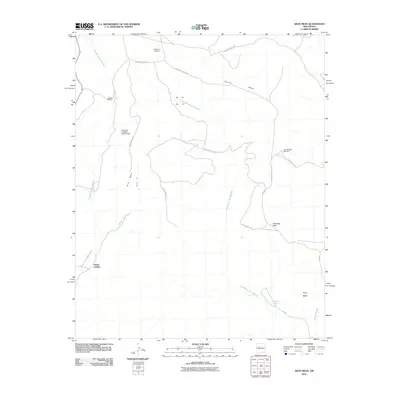
2010 Map of Arch Mesa
USGS Topo · Published 2010About this map
Piedra Lumbre and the surrounding high desert mesas define this corner of the Eastern Navajo Agency in the early 21st century. The landscape is marked by the vital infrastructure of arid-land ranching and water management, including the Seboyeta Irrigation System Dam and numerous scattered landmarks like Hackberry Windmill and Meyer Windmill. Significant drainage systems such as Cañada de San Antonio and Arroyo Zia carve through the terrain, illustrating the natural flow of water toward Arroyo Salado.
Find a feature on this map
19 named features on this map. Tap any name to fly to it.
Don’t see what you’re looking for? This feature index may not catch every label — zoom into the map to look around manually.
Map Details
Editions of this 2010 Arch Mesa Map
This is the sole edition of this map. No revisions or reprints were ever made.
Other maps of this area

1883 · Mt. Taylor
USGS Topo · 1:250,000

1886 · Mt. Taylor
USGS Topo · 1:250,000

1892 · Mt. Taylor
USGS Topo · 1:250,000

1899 · Mt. Taylor
USGS Topo · 1:250,000

1954 · Herrera
USGS Topo · 1:24,000

1954 · Canoncito School
USGS Topo · 1:24,000
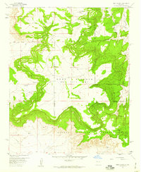
1957 · Mesa Gigante
USGS Topo · 1:24,000

1957 · Moquino
USGS Topo · 1:24,000

1957 · Mesita
USGS Topo · 1:24,000
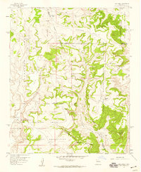
1957 · Arch Mesa
USGS Topo · 1:24,000