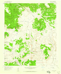
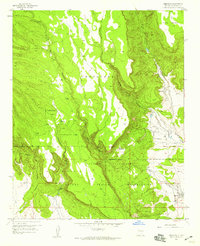
1957 Map of Moquino
USGS Topo · Published 1959About this map
The Laguna Indian Reservation and the large Spanish land grants of Cebolleta Grant and Paguate Purchase Grant define this mid-century landscape. The map captures a significant period of industrial development in the region, most notably the operations at the Jackpile Mine, St Anthony Mine, and Woodrow Mine. These sites, along with extensive Tailings along the Rio Paguate, illustrate the scale of open-pit mining that reshaped the terrain south of the mesas.
Find a feature on this map
27 named features on this map. Tap any name to fly to it.
Don’t see what you’re looking for? This feature index may not catch every label — zoom into the map to look around manually.
Map Details
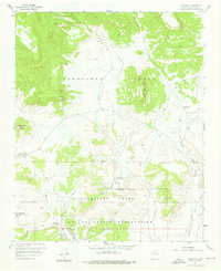
Editions of this 1957 Moquino Map
2 editions found
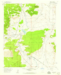
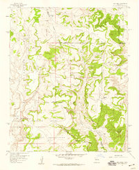
Other maps of this area

1883 · Mt. Taylor
USGS Topo · 1:250,000

1886 · Mt. Taylor
USGS Topo · 1:250,000

1892 · Mt. Taylor
USGS Topo · 1:250,000

1899 · Mt. Taylor
USGS Topo · 1:250,000
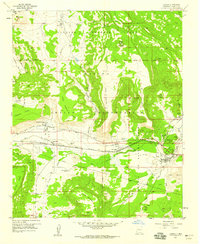
1957 · Laguna
USGS Topo · 1:24,000
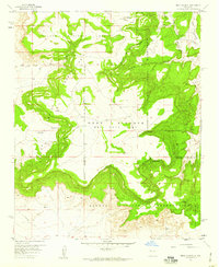
1957 · Mesa Gigante
USGS Topo · 1:24,000
1957 · Seboyeta
USGS Topo · 1:24,000
1957 · Mesita
USGS Topo · 1:24,000
1957 · Arch Mesa
USGS Topo · 1:24,000

1958 · Albuquerque
USGS Topo · 1:250,000