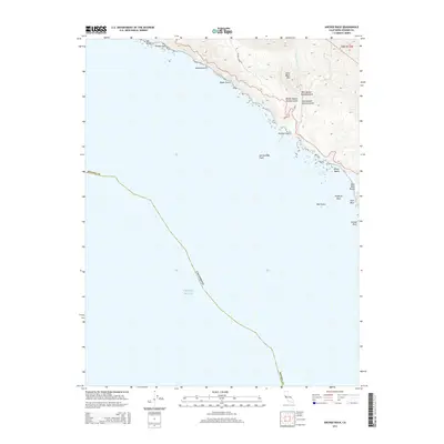
2015 Map of Arched Rock
USGS Topo · Published 2015About this map
The San Andreas Fault cuts a silent, unseen line through the Pacific Ocean just offshore of the Sonoma County coast, marking a tectonic boundary that defines this shoreline. The land rises steeply from the surf to coastal heights like Little Black Mtn, carved by a series of drainage systems that empty into the sea. Notable among these is the complex basin of Russian Gulch, where the West Branch, Middle Branch, and East Branch converge before reaching the tide.
Find a feature on this map
23 named features on this map. Tap any name to fly to it.
Don’t see what you’re looking for? This feature index may not catch every label — zoom into the map to look around manually.
Map Details
Editions of this 2015 Arched Rock Map
This is the sole edition of this map. No revisions or reprints were ever made.
Other maps of this area

1921 · Skaggs
USGS Topo · 1:62,500

1921 · Plantation
USGS Topo · 1:62,500

1942 · Bodega Head
USGS Topo · 1:24,000

1942 · Arched Rock
USGS Topo · 1:24,000

1943 · Plantation
USGS Topo · 1:24,000

1943 · Cazadero
USGS Topo · 1:24,000

1943 · Duncans Mills
USGS Topo · 1:24,000

1943 · Fort Ross
USGS Topo · 1:24,000
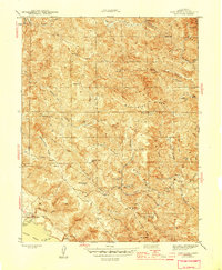
1944 · Fort Ross
USGS Topo · 1:31,680
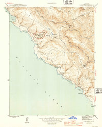
1944 · Plantation
USGS Topo · 1:31,680