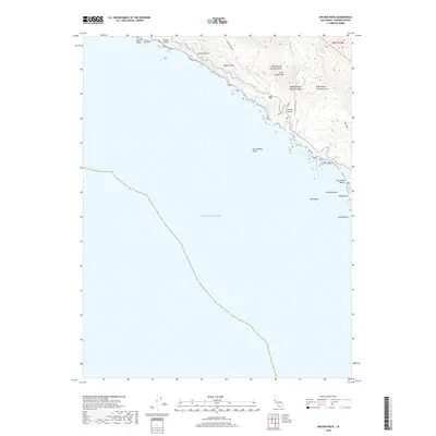
2018 Map of Arched Rock
USGS Topo · Published 2018About this map
The San Andreas Fault traces its way along this section of the Sonoma County coast, marking a dramatic geological boundary where the continent meets the Pacific Ocean. The landscape is defined by steep coastal drainages such as Russian Gulch and Meyer Gulch that cut through the high ridges of Little Black Mtn. These deep canyons, including the complex drainage system of West Branch Russian Gulch and East Branch Russian Gulch, dictate the limited infrastructure of the area, with Meyers Grade Rd and Muniz Ranch Rd following the high ground above the surf. Along the shoreline, distinct geologic features like Arched Rock, Goat Rock, and Halfmile Rock stand as sentinels against the Pacific, while Jenner Beach and Goat Rock Beach offer narrow stretches of sand at the base of the coastal bluffs.
Find a feature on this map
22 named features on this map. Tap any name to fly to it.
Don’t see what you’re looking for? This feature index may not catch every label — zoom into the map to look around manually.
Map Details
Editions of this 2018 Arched Rock Map
This is the sole edition of this map. No revisions or reprints were ever made.
Other maps of this area

1921 · Skaggs
USGS Topo · 1:62,500

1921 · Plantation
USGS Topo · 1:62,500

1942 · Bodega Head
USGS Topo · 1:24,000

1942 · Arched Rock
USGS Topo · 1:24,000

1943 · Plantation
USGS Topo · 1:24,000

1943 · Cazadero
USGS Topo · 1:24,000

1943 · Duncans Mills
USGS Topo · 1:24,000

1943 · Fort Ross
USGS Topo · 1:24,000
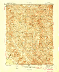
1944 · Fort Ross
USGS Topo · 1:31,680
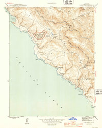
1944 · Plantation
USGS Topo · 1:31,680