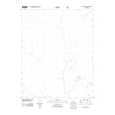
2011 Map of Archuleta Creek
USGS Topo · Published 2011About this map
The Rio Chama serves as the central drainage for this high-altitude landscape in Conejos County, where its main stem is joined by the West Fork Rio Chama and East Fork Rio Chama. This terrain is defined by its complex hydrology, featuring a significant concentration of alpine water bodies including Chama Lake in the north and the clustered Beaver Lakes and Crater Lake to the southeast. The map documents the primitive transportation network of the early 21st century, dominated by County Rd 50.00 and various unnamed forest routes that navigate the steep elevations near Archuleta Creek. For researchers and genealogists, this survey captures the area before modern shifts in land management, preserving the location of smaller features like Mystery Lake, Kelly Lake, and the three interconnected tiers of Lower Lake, Middle Lake, and Finger Lake.
Find a feature on this map
17 named features on this map. Tap any name to fly to it.
Don’t see what you’re looking for? This feature index may not catch every label — zoom into the map to look around manually.
Map Details
Editions of this 2011 Archuleta Creek Map
This is the sole edition of this map. No revisions or reprints were ever made.
Other maps of this area

1913 · Summitville
USGS Topo · 1:125,000

1915 · Summitville
USGS Topo · 1:125,000

1918 · Tusas
USGS Topo · 1:125,000

1922 · Conejos
USGS Topo · 1:125,000

1945 · Durango
USGS Topo · 1:250,000

1953 · Durango
USGS Topo · 1:250,000

1954 · Durango
USGS Topo · 1:250,000

1954 · Aztec
USGS Topo · 1:250,000

1955 · Chama
USGS Topo · 1:62,500

1955 · Brazos Peak
USGS Topo · 1:62,500