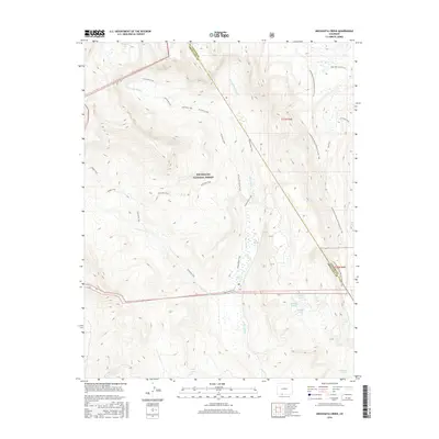
2016 Map of Archuleta Creek
USGS Topo · Published 2016About this map
Rio Grande National Forest encompasses this high-altitude landscape where the headwaters of the Rio Chama begin their descent. The terrain is defined by the convergence of several major drainages, including Archuleta Creek, the W Fork Rio Chama, and the E Fork Rio Chama. This 2016 survey illustrates a primitive transportation network consisting entirely of trails, reflecting the protected and roadless character of the region. The Continental Divide National Scenic Trail winds along the eastern ridgelines, serving as a primary artery for movement through the high country. Numerous alpine water bodies are scattered throughout the peaks, from the northern Chama Lake to the southern cluster containing Mystery Lake, Middle Lake, and Lower Lake. The presence of the Archuleta Trail and Hughes Trail suggests the historical importance of these routes for accessing the interior of the San Juan Mountains before modern infrastructure.
Find a feature on this map
24 named features on this map. Tap any name to fly to it.
Don’t see what you’re looking for? This feature index may not catch every label — zoom into the map to look around manually.
Map Details
Editions of this 2016 Archuleta Creek Map
This is the sole edition of this map. No revisions or reprints were ever made.
Other maps of this area

1913 · Summitville
USGS Topo · 1:125,000

1915 · Summitville
USGS Topo · 1:125,000

1918 · Tusas
USGS Topo · 1:125,000

1922 · Conejos
USGS Topo · 1:125,000

1945 · Durango
USGS Topo · 1:250,000

1953 · Durango
USGS Topo · 1:250,000

1954 · Durango
USGS Topo · 1:250,000

1954 · Aztec
USGS Topo · 1:250,000

1955 · Chama
USGS Topo · 1:62,500

1955 · Brazos Peak
USGS Topo · 1:62,500