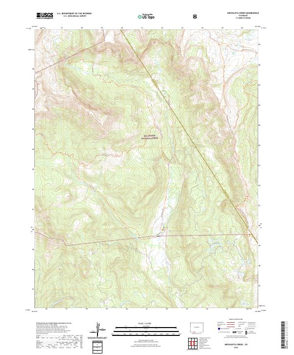
2022 Map of Archuleta Creek
USGS Topo · Published 2022About this map
Rio Grande National Forest encompasses this high-altitude landscape along the border of Conejos and Archuleta counties. The area is defined by the convergence of mountain waterways, including the W Fork Rio Chama and E Fork Rio Chama, which feed into the main course of the Rio Chama. A complex network of backcountry paths, such as the Archuleta Trl and the Chama River Trl, provides access to several isolated alpine water bodies. Notable high-country destinations include Kelly Lake, Mystery Lake, and the aptly named Crater Lake. The map also captures the route of the Continental Divide National Scenic Trl as it traverses the ridgelines, marking a significant corridor for modern wilderness travelers and reflecting the enduring importance of these traditional mountain passes.
Find a feature on this map
22 named features on this map. Tap any name to fly to it.
Don’t see what you’re looking for? This feature index may not catch every label — zoom into the map to look around manually.
Map Details
Editions of this 2022 Archuleta Creek Map
This is the sole edition of this map. No revisions or reprints were ever made.
Other maps of this area

1913 · Summitville
USGS Topo · 1:125,000

1915 · Summitville
USGS Topo · 1:125,000

1918 · Tusas
USGS Topo · 1:125,000

1922 · Conejos
USGS Topo · 1:125,000

1945 · Durango
USGS Topo · 1:250,000

1953 · Durango
USGS Topo · 1:250,000

1954 · Durango
USGS Topo · 1:250,000

1954 · Aztec
USGS Topo · 1:250,000

1955 · Chama
USGS Topo · 1:62,500

1955 · Brazos Peak
USGS Topo · 1:62,500