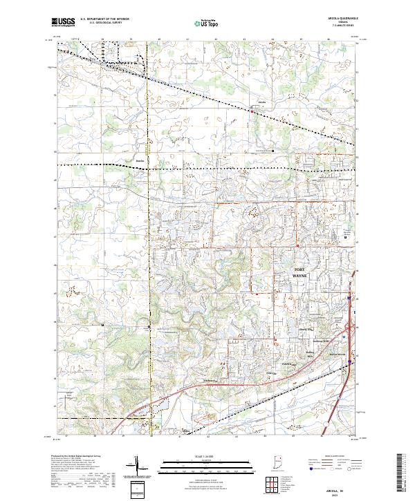
2023 Map of Arcola
USGS Topo · Published 2023About this map
Arcola and Dunfee serve as the primary historic anchors in this corner of Allen County, where the transition from rural agricultural land to suburban expansion is clearly visible. The landscape is defined by an intricate network of managed waterways, including Gangwer Ditch and the Graham McCulloch Ditch, which drain the flat terrain toward the Little River. These drainage systems reflect a long history of reclaiming marshy grounds for farming, a process that enabled the development of the numerous residential communities seen today near Fort Wayne.
Find a feature on this map
79 named features on this map. Tap any name to fly to it.
Don’t see what you’re looking for? This feature index may not catch every label — zoom into the map to look around manually.
Map Details
Editions of this 2023 Arcola Map
This is the sole edition of this map. No revisions or reprints were ever made.
Other maps of this area

1953 · Fort Wayne
USGS Topo · 1:250,000

1953 · Muncie
USGS Topo · 1:250,000

1955 · Columbia City
USGS Topo · 1:24,000

1956 · Muncie
USGS Topo · 1:250,000

1956 · Fort Wayne
USGS Topo · 1:250,000

1956 · Fort Wayne West
USGS Topo · 1:24,000

1956 · Huntington
USGS Topo · 1:24,000

1957 · Huntertown
USGS Topo · 1:24,000

1957 · Churubusco
USGS Topo · 1:24,000

1961 · Arcola
USGS Topo · 1:24,000