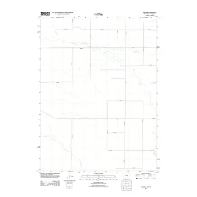
2012 Map of Arcola
USGS Topo · Published 2012About this map
Arcola marks a high plains landscape in Laramie County, where the transition from Wyoming into Colorado is defined more by surveying lines than natural barriers. The settlement sits north of Crow Cr, a watercourse that winds eastward across the grid-patterned terrain. This 2012 survey illustrates the critical role of water management in this arid region, as evidenced by the Beaver Dam Ditch and the Beaver Dam Reservoir. These engineering features highlight the persistent efforts to redirect local hydrology for agricultural or municipal use. To the south, the path of Little Crow Cr carves its own route through the section lines, while a dense network of county roads, including Co RD-146 and Co RD-200, maintains the connectivity of this rural ranching and farming district.
Find a feature on this map
20 named features on this map. Tap any name to fly to it.
Don’t see what you’re looking for? This feature index may not catch every label — zoom into the map to look around manually.
Map Details
Editions of this 2012 Arcola Map
This is the sole edition of this map. No revisions or reprints were ever made.
Other maps of this area

1908 · Eaton
USGS Topo · 1:125,000

1910 · Eaton
USGS Topo · 1:125,000

1911 · Cheyenne
USGS Topo · 1:125,000

1914 · Cheyenne
USGS Topo · 1:125,000

1954 · Cheyenne
USGS Topo · 1:250,000

1954 · Greeley
USGS Topo · 1:250,000

1957 · Greeley
USGS Topo · 1:250,000

1958 · Cheyenne
USGS Topo · 1:250,000

1958 · Greeley
USGS Topo · 1:250,000

1961 · Greeley
USGS Topo · 1:250,000