
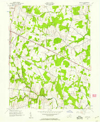
1943 Map of Arcola
USGS Topo · Published 1957About this map
The Lee-Jackson Memorial Highway bisects this Northern Virginia landscape, serving as the primary corridor through rural settlements during the mid-1940s. The map illustrates a network of community centers defined by small crossroads and country churches, such as Mt Zion Ch and Little River Ch. These points of assembly, along with the Watson Sch, highlight the importance of localized social infrastructure before the intensive suburban expansion of the later 20th century.
Find a feature on this map
20 named features on this map. Tap any name to fly to it.
Don’t see what you’re looking for? This feature index may not catch every label — zoom into the map to look around manually.
Map Details
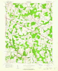
Editions of this 1943 Arcola Map
Other maps of this area

1884 · Harpers Ferry
USGS Topo · 1:125,000

1890 · Mt. Vernon
USGS Topo · 1:125,000

1891 · Harpers Ferry
USGS Topo · 1:125,000

1891 · Mt. Vernon
USGS Topo · 1:125,000

1893 · Frederick
USGS Topo · 1:125,000

1893 · Harpers Ferry
USGS Topo · 1:125,000

1894 · Warrenton
USGS Topo · 1:125,000

1894 · Frederick
USGS Topo · 1:125,000

1894 · Mt. Vernon
USGS Topo · 1:125,000

1897 · Mt. Vernon
USGS Topo · 1:125,000