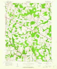
1943 Map of Arcola
USGS Topo · Published 1961About this map
Arcola serves as the central hub of this Northern Virginia landscape, which is defined by a traditional network of crossroads settlements and country institutions at the height of World War II. The terrain is structured by prominent watercourses like Broad and Beaverdam, which drain the rolling pastures and woodlots of eastern Loudoun County. Rural life during this era centered on small communities like Watson, anchored by the Watson Sch and Mt Zion Ch.
Find a feature on this map
22 named features on this map. Tap any name to fly to it.
Don’t see what you’re looking for? This feature index may not catch every label — zoom into the map to look around manually.
Map Details
Editions of this 1943 Arcola Map

Other maps of this area

1884 · Harpers Ferry
USGS Topo · 1:125,000

1890 · Mt. Vernon
USGS Topo · 1:125,000

1891 · Harpers Ferry
USGS Topo · 1:125,000

1891 · Mt. Vernon
USGS Topo · 1:125,000

1893 · Frederick
USGS Topo · 1:125,000

1893 · Harpers Ferry
USGS Topo · 1:125,000

1894 · Warrenton
USGS Topo · 1:125,000

1894 · Frederick
USGS Topo · 1:125,000

1894 · Mt. Vernon
USGS Topo · 1:125,000

1897 · Mt. Vernon
USGS Topo · 1:125,000