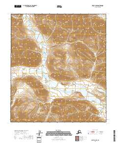
2018 Map of Arctic B-5 NW
USGS Topo · Published 2018About this map
Junjik River flows across this remote stretch of the North Slope, dominating a landscape defined by sharp elevation changes and high mountain terrain. This 2018 survey documents the river as it meanders through a wide valley before entering a large lake in the southeast quadrant. The map detail highlights the complex drainage patterns and steep contour gradients of the surrounding peaks, illustrating how the water system has carved through the bedrock. This portion of the Junjik River remains an untouched wilderness within the Brooks Range, where the lack of roads or established settlements emphasizes the isolated nature of the Arctic interior. The survey provides a precise record of the river's path and the surrounding landforms within township boundaries like t11s r22e and t12s r23e.
Find a feature on this map
5 named features on this map. Tap any name to fly to it.
Don’t see what you’re looking for? This feature index may not catch every label — zoom into the map to look around manually.
Map Details
Editions of this 2018 Arctic B-5 NW Map
This is the sole edition of this map. No revisions or reprints were ever made.
Other maps of this area

1951 · Brooks
USGS Topo · 1:250,000

1951 · Arctic
USGS Topo · 1:250,000

1956 · Arctic
USGS Topo · 1:250,000

1956 · Philip Smith Mountains
USGS Topo · 1:250,000

1964 · Philip Smith Mountains
USGS Topo · 1:250,000
1971 · Philip Smith Mountains C-1
USGS Topo · 1:63,360
1971 · Philip Smith Mountains B-1
USGS Topo · 1:63,360
1971 · Arctic C-5
USGS Topo · 1:63,360
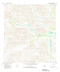
1981 · Arctic B-5
USGS Topo · 1:63,360
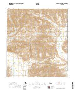
2017 · Philip Smith Mountains B-1 SE
USGS Topo · 1:25,000