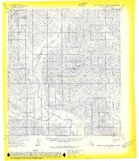
1971 Map of Philip Smith Mountains B-1
USGS Topo · Published 1974About this map
Continental Divide crests through the high terrain of the North Slope in this 1971 aerial survey, marking a significant hydrologic boundary in a region devoid of roads or permanent settlements. The map documents a primitive drainage system defined by the Wind River, which meanders through the central and southern sections, and the Junjik River in the northeast. Small tributaries like Smoke Creek feed these larger arteries, illustrating the complex watershed patterns characteristic of the Brooks Range interior. Prepared by the Geological Survey from 1970 photogrammetric data, this advance proof illustrates the landscape before modern infrastructure reached this part of the Alaskan wilderness, offering a precise look at the natural watercourses and relief as recorded before field checking.
Find a feature on this map
4 named features on this map. Tap any name to fly to it.
Don’t see what you’re looking for? This feature index may not catch every label — zoom into the map to look around manually.
Map Details
Editions of this 1971 Philip Smith Mountains B-1 Map
2 editions found
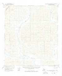
Other maps of this area

1951 · Brooks
USGS Topo · 1:250,000

1951 · Arctic
USGS Topo · 1:250,000

1956 · Arctic
USGS Topo · 1:250,000

1956 · Philip Smith Mountains
USGS Topo · 1:250,000

1964 · Philip Smith Mountains
USGS Topo · 1:250,000
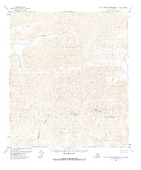
1971 · Philip Smith Mountains C-1
USGS Topo · 1:63,360
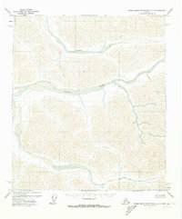
1971 · Philip Smith Mountains C-2
USGS Topo · 1:63,360
1971 · Philip Smith Mountains A-2
USGS Topo · 1:63,360
1971 · Philip Smith Mountains A-1
USGS Topo · 1:63,360
1971 · Arctic C-5
USGS Topo · 1:63,360