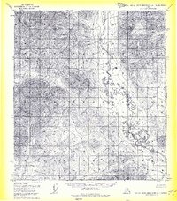
1971 Map of Philip Smith Mountains A-1
USGS Topo · Published 1974About this map
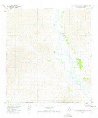
The West Fork Sagavanirktok River meanders through the high-altitude terrain of the North Slope in this early 1970s topographic study. The landscape is defined by its glacial hydrology, where the river valley creates a break in the mountainous topography, accompanied by numerous unnamed alpine lakes and marshy lowlands. This advance proof map captures the area shortly after 1970 aerial photography, documenting the unsurveyed and unmarked locations predetermined by the Bureau of Land Management. The northern extent of the South Boundary Umiat Meridian provides a primary reference for the remote interior, showing a region devoid of permanent settlements or infrastructure at the time of the survey.
Find a feature on this map
6 named features on this map. Tap any name to fly to it.
Don’t see what you’re looking for? This feature index may not catch every label — zoom into the map to look around manually.
Map Details
Editions of this 1971 Philip Smith Mountains A-1 Map
2 editions found
Other maps of this area

1951 · Chandalar
USGS Topo · 1:250,000

1951 · Christian
USGS Topo · 1:250,000

1951 · Brooks
USGS Topo · 1:250,000

1951 · Arctic
USGS Topo · 1:250,000

1956 · Arctic
USGS Topo · 1:250,000

1956 · Chandalar
USGS Topo · 1:250,000

1956 · Philip Smith Mountains
USGS Topo · 1:250,000

1956 · Christian
USGS Topo · 1:250,000

1964 · Chandalar
USGS Topo · 1:250,000

1964 · Philip Smith Mountains
USGS Topo · 1:250,000