
1956 Map of Philip Smith Mountains
USGS Topo · Published 1959About this map
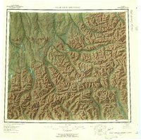
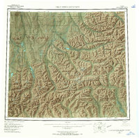
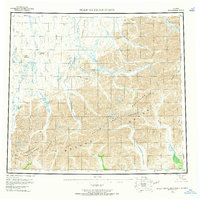
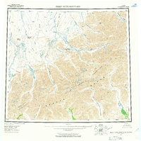
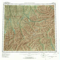
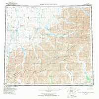
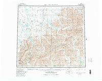
The Brooks Range dominates this mid-century topographic survey, where the Philip Smith Mountains and Endicott Mountains converge. The landscape is defined by its massive drainage networks, characterized by the northern-flowing Sagavanirktok River and Itkillik River systems. Notable landmarks such as Itigaknit Mountain and Imnavait Mountain rise above the high-latitude tundra, marking a territory devoid of roads or permanent settlements at the time of annotation in 1956. The map reveals the intricate hydrology of the region, from the high-altitude Itkillik Lake and Galbraith Lake to the headwaters of the Middle Fork Chandalar River, which flows south toward the Yukon basin. This survey captures a pristine Arctic wilderness just prior to the era of large-scale industrial exploration, preserving the indigenous and descriptive toponymy of the northern interior.
Find a feature on this map
26 named features on this map. Tap any name to fly to it.
Don’t see what you’re looking for? This feature index may not catch every label — zoom into the map to look around manually.
Map Details
Editions of this 1956 Philip Smith Mountains Map
10 editions found
Other maps of this area

1951 · Sagavanirktok D-5
USGS Topo · 1:250,000

1951 · Chandler Lake
USGS Topo · 1:250,000

1951 · Chandalar
USGS Topo · 1:250,000

1951 · Christian
USGS Topo · 1:250,000

1951 · Brooks
USGS Topo · 1:250,000

1951 · Arctic
USGS Topo · 1:250,000

1951 · Wiseman
USGS Topo · 1:250,000

1951 · Mt. Michelson
USGS Topo · 1:250,000

1952 · Umiat
USGS Topo · 1:250,000

1956 · Arctic
USGS Topo · 1:250,000