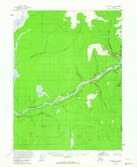
1956 Map of Coleen B-1
USGS Topo · Published 1963About this map
The Porcupine River carves a deep valley through the wilderness of the United States Canada borderlands in this 1950s survey. This remote landscape is defined by the Upper Ramparts, where the river is joined by significant tributaries including the Rapid River and the Campbell River. The topography is marked by prominent elevations such as Canalaska Mountain and high-altitude survey markers like VABM Crown 1955.
Find a feature on this map
14 named features on this map. Tap any name to fly to it.
Don’t see what you’re looking for? This feature index may not catch every label — zoom into the map to look around manually.
Map Details
Editions of this 1956 Coleen B-1 Map
2 editions found
Other maps of this area

1951 · Coleen
USGS Topo · 1:250,000

1956 · Coleen
USGS Topo · 1:250,000

1956 · Coleen B-2
USGS Topo · 1:63,360
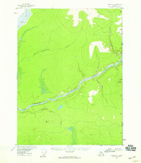
1956 · Coleen B-1
USGS Topo · 1:63,360

1956 · Coleen A-1
USGS Topo · 1:63,360

1956 · Coleen A-2
USGS Topo · 1:63,360
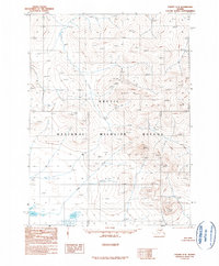
1990 · Coleen C-2
USGS Topo · 1:63,360
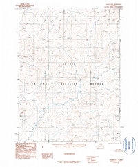
1990 · Coleen C-1
USGS Topo · 1:63,360
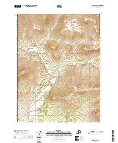
2018 · Coleen C-1 SW
USGS Topo · 1:25,000
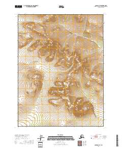
2018 · Coleen C-2 SE
USGS Topo · 1:25,000