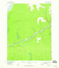
1956 Map of Coleen B-1
USGS Topo · Published 1959About this map
The Porcupine River carves a deep path through the interior of the Alaska-Yukon borderland, passing through the distinctive Upper Ramparts on its westward journey. This 1950s survey captures a landscape defined by its remote waterways and significant elevation markers, including peaks such as Canalaska Mountain and several high-altitude triangulation stations like VABM 2394 Cone and VABM 1939 Chasm. The eastern edge of the map follows the international boundary between the United States and Canada, marked by a series of precise monuments along the Alaska-Yukon line. The confluence of the Rapid River and several smaller tributaries like Sunagun Creek and White Mountain Creek suggests a complex drainage system essential for navigation and travel in the territory before modern infrastructure reached this corner of the north.
Find a feature on this map
24 named features on this map. Tap any name to fly to it.
Don’t see what you’re looking for? This feature index may not catch every label — zoom into the map to look around manually.
Map Details
Editions of this 1956 Coleen B-1 Map
2 editions found
Other maps of this area

1951 · Coleen
USGS Topo · 1:250,000

1956 · Coleen
USGS Topo · 1:250,000

1956 · Coleen B-2
USGS Topo · 1:63,360

1956 · Coleen A-1
USGS Topo · 1:63,360

1956 · Coleen A-2
USGS Topo · 1:63,360
1990 · Coleen C-2
USGS Topo · 1:63,360
1990 · Coleen C-1
USGS Topo · 1:63,360
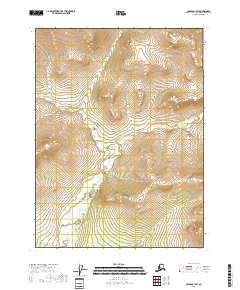
2018 · Coleen C-1 SW
USGS Topo · 1:25,000
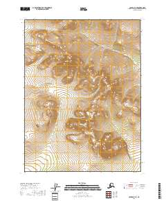
2018 · Coleen C-2 SE
USGS Topo · 1:25,000
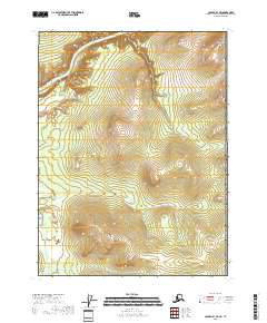
2018 · Coleen B-1 SE
USGS Topo · 1:25,000