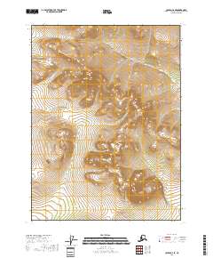
2018 Map of Coleen C-2 SE
USGS Topo · Published 2018About this map
Spike Mtn rises as a prominent landmark in this interior Alaskan landscape within the Yukon-Koyukuk region. This 2018 survey documents a largely roadless wilderness defined by intricate contour lines and natural drainage patterns, most notably Lake Cr which winds through the northern portion of the terrain. The map is organized by the Public Land Survey System, showing the intersections of t32n r27e, t32n r28e, t31n r27e, and t31n r28e. This lack of human infrastructure or named settlements highlights the area's character as an undisturbed natural corridor, where elevation and hydrology are the primary features of interest for those studying the physical geography of the Coleen river basin.
Find a feature on this map
6 named features on this map. Tap any name to fly to it.
Don’t see what you’re looking for? This feature index may not catch every label — zoom into the map to look around manually.
Map Details
Editions of this 2018 Coleen C-2 SE Map
This is the sole edition of this map. No revisions or reprints were ever made.
Other maps of this area

1951 · Coleen
USGS Topo · 1:250,000

1956 · Coleen
USGS Topo · 1:250,000

1956 · Coleen B-2
USGS Topo · 1:63,360
1956 · Coleen B-1
USGS Topo · 1:63,360
1990 · Coleen C-2
USGS Topo · 1:63,360
1990 · Coleen C-1
USGS Topo · 1:63,360
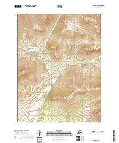
2018 · Coleen C-1 SW
USGS Topo · 1:25,000
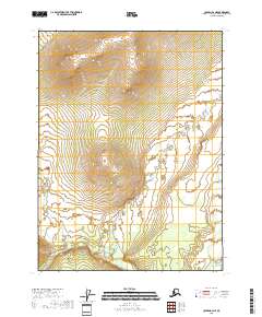
2018 · Coleen B-2 NE
USGS Topo · 1:25,000
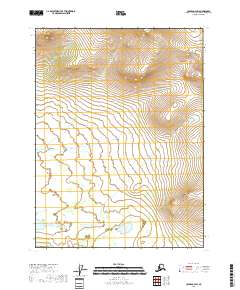
2018 · Coleen C-2 SW
USGS Topo · 1:25,000
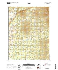
2018 · Coleen B-1 NW
USGS Topo · 1:25,000