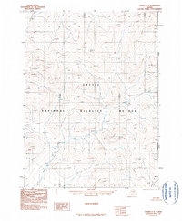
1990 Map of Coleen C-1
USGS Topo · Published 1990About this map
Arctic National Wildlife Refuge dominates this wilderness landscape near the northeastern edge of the United States border. The terrain is defined by extreme relief and isolated peaks such as Barren 3169 and Orphan 2452. Waterways like the Rapid River and the meandering Sunagun Creek provide the only natural pathways through these high-latitude mountains. This map represents a moment in time when the region remained largely undeveloped, with the eastern margin marked by the international boundary between United States Canada and the administrative line separating Alaska Yukon. The absence of roads or permanent settlements emphasizes the protected status and isolation of this interior arctic environment.
Find a feature on this map
7 named features on this map. Tap any name to fly to it.
Don’t see what you’re looking for? This feature index may not catch every label — zoom into the map to look around manually.
Map Details
Editions of this 1990 Coleen C-1 Map
This is the sole edition of this map. No revisions or reprints were ever made.
Other maps of this area

1951 · Coleen
USGS Topo · 1:250,000

1956 · Coleen
USGS Topo · 1:250,000

1956 · Coleen B-2
USGS Topo · 1:63,360
1956 · Coleen B-1
USGS Topo · 1:63,360
1972 · Coleen D-2
USGS Topo · 1:63,360
1972 · Coleen D-1
USGS Topo · 1:63,360
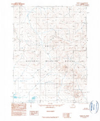
1990 · Coleen C-2
USGS Topo · 1:63,360
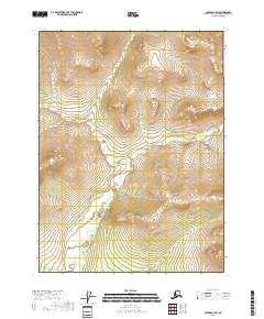
2018 · Coleen C-1 SW
USGS Topo · 1:25,000
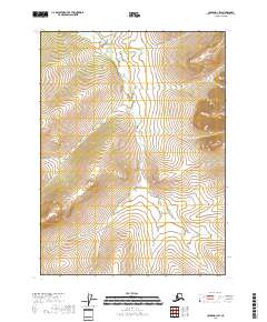
2018 · Coleen D-1 SW
USGS Topo · 1:25,000
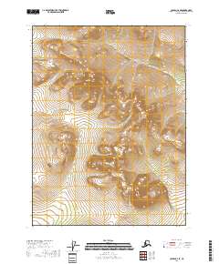
2018 · Coleen C-2 SE
USGS Topo · 1:25,000