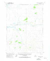
1972 Map of Coleen D-2
USGS Topo · Published 1974About this map
Strangle Woman Creek meanders through the center of this remote Alaskan landscape, defined by high-latitude hydrology and unsurveyed wilderness. The terrain is marked by a complex network of swamps and low-relief wetlands, particularly where the creek branches into smaller distributaries. In the northwestern corner, a segment of a Winter Trail provides the only evidence of overland travel, likely serving as a seasonal route when the ground and waterways were frozen. This 1972 survey also documents the North Boundary Fairbanks Meridian, a critical administrative line for the Bureau of Land Management in a region where most land lines remained predetermined but unmarked on the ground. The lack of permanent settlements or infrastructure highlights the extreme isolation of this subarctic environment at the time of mapping.
Find a feature on this map
3 named features on this map. Tap any name to fly to it.
Don’t see what you’re looking for? This feature index may not catch every label — zoom into the map to look around manually.
Map Details
Editions of this 1972 Coleen D-2 Map
This is the sole edition of this map. No revisions or reprints were ever made.
Other maps of this area

1951 · Coleen
USGS Topo · 1:250,000

1951 · Table Mountain
USGS Topo · 1:250,000

1956 · Table Mountain
USGS Topo · 1:250,000

1956 · Coleen
USGS Topo · 1:250,000

1964 · Table Mountain
USGS Topo · 1:250,000
1972 · Table Mountain A-2
USGS Topo · 1:63,360
1972 · Table Mountain A-1
USGS Topo · 1:63,360
1972 · Coleen D-1
USGS Topo · 1:63,360
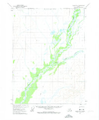
1972 · Coleen D-3
USGS Topo · 1:63,360
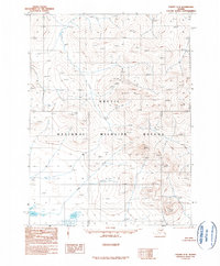
1990 · Coleen C-2
USGS Topo · 1:63,360