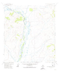
1972 Map of Table Mountain A-2
USGS Topo · Published 1974About this map
The Coleen River defines the landscape of this portion of the Arctic National Wildlife Range in the early 1970s. The river's braided channels and wide gravel bars dominate the central valley, flanked by named tributaries like Lois Creek and Martin Creek. High elevations such as Mart rise above the drainage basins, illustrating the unpopulated and remote character of the Brooks Range foothills before modern developments. Transportation through this wilderness is restricted to seasonal routes, most notably the Winter Trail and other unmarked Trail segments that crisscross the eastern ridges. This 1972 mapping, produced by photogrammetric methods, records the land as it was managed by the Bureau of Land Management and the Geological Survey prior to major changes in Alaskas land-use designations.
Find a feature on this map
14 named features on this map. Tap any name to fly to it.
Don’t see what you’re looking for? This feature index may not catch every label — zoom into the map to look around manually.
Map Details
Editions of this 1972 Table Mountain A-2 Map
This is the sole edition of this map. No revisions or reprints were ever made.
Other maps of this area

1951 · Coleen
USGS Topo · 1:250,000

1951 · Table Mountain
USGS Topo · 1:250,000

1956 · Table Mountain
USGS Topo · 1:250,000

1956 · Coleen
USGS Topo · 1:250,000

1964 · Table Mountain
USGS Topo · 1:250,000
1972 · Table Mountain B-1
USGS Topo · 1:63,360
1972 · Coleen D-2
USGS Topo · 1:63,360
1972 · Table Mountain B-3
USGS Topo · 1:63,360
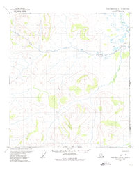
1972 · Table Mountain A-1
USGS Topo · 1:63,360
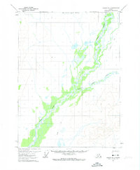
1972 · Coleen D-3
USGS Topo · 1:63,360