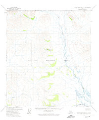
1972 Map of Table Mountain B-3
USGS Topo · Published 1974About this map
The Coleen River meanders through this portion of the northern interior, a landscape defined by its protection within the Arctic National Wildlife Range. Surveyed in the early 1970s, the map documents a vast wilderness where the terrain is shaped by the drainage of Eskimo Creek and the surrounding unorganized territory. The presence of the North Slope Borough Boundary along the upper margin reflects the evolving administrative geography of the era. With no roads or trails recorded, the cartography highlights the natural hydrologic patterns and the intricate contour lines of the Brooks Range foothills, providing a clear record of this remote region before later environmental and geopolitical shifts.
Find a feature on this map
5 named features on this map. Tap any name to fly to it.
Don’t see what you’re looking for? This feature index may not catch every label — zoom into the map to look around manually.
Map Details
Editions of this 1972 Table Mountain B-3 Map
This is the sole edition of this map. No revisions or reprints were ever made.
Other maps of this area

1951 · Table Mountain
USGS Topo · 1:250,000

1956 · Table Mountain
USGS Topo · 1:250,000

1964 · Table Mountain
USGS Topo · 1:250,000
1972 · Table Mountain A-2
USGS Topo · 1:63,360
1972 · Table Mountain A-4
USGS Topo · 1:63,360
1972 · Table Mountain B-4
USGS Topo · 1:63,360
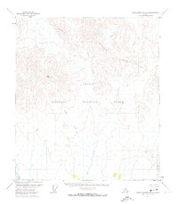
1972 · Table Mountain B-2
USGS Topo · 1:63,360
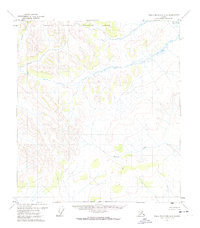
1972 · Table Mountain A-3
USGS Topo · 1:63,360
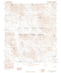
1983 · Table Mountain C-3
USGS Topo · 1:63,360
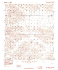
1983 · Table Mountain C-4
USGS Topo · 1:63,360