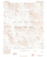
1983 Map of Table Mountain C-3
USGS Topo · Published 1984About this map
Coleen River winds through the southern reaches of this landscape, a remote region of the Alaska North Slope as documented during the late twentieth century. The terrain is defined by dramatic elevations and geological formations, most notably the prominent Conglomerate Mountain and a high Knoll further east. This 1983 provisional survey was compiled from 1974 aerial photography, capturing the area's transition into federally protected land. Large portions of the territory are designated as part of the Arctic National Wildlife Refuge and the more restrictive Arctic Wildlife Refuge Wilderness. The map reveals a complete absence of roads or permanent settlements, emphasizing the primitive and untouched character of this section of the Brooks Range foothills where only natural drainage patterns and landforms dictate the geography.
Find a feature on this map
11 named features on this map. Tap any name to fly to it.
Don’t see what you’re looking for? This feature index may not catch every label — zoom into the map to look around manually.
Map Details
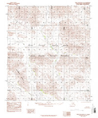
Editions of this 1983 Table Mountain C-3 Map
2 editions found
Other maps of this area

1951 · Table Mountain
USGS Topo · 1:250,000

1956 · Table Mountain
USGS Topo · 1:250,000

1964 · Table Mountain
USGS Topo · 1:250,000
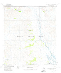
1972 · Table Mountain B-3
USGS Topo · 1:63,360
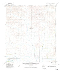
1972 · Table Mountain B-4
USGS Topo · 1:63,360
1972 · Table Mountain B-2
USGS Topo · 1:63,360

1983 · Table Mountain D-2
USGS Topo · 1:63,360
1983 · Table Mountain D-4
USGS Topo · 1:63,360
1983 · Table Mountain D-3
USGS Topo · 1:63,360
1983 · Table Mountain C-4
USGS Topo · 1:63,360