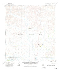
1972 Map of Table Mountain B-4
USGS Topo · Published 1974About this map
Arctic National Wildlife Range dominates this 1970s landscape, illustrating a vast interior wilderness before significant modern infrastructure. The terrain is defined by the hydrologic network of the Sheenjek River and its major tributary, the East Fork Sheenjek River, which meander through high-latitude valleys. The map records the North Slope Borough Boundary crossing the northern portion of the sheet, marking a significant administrative line in the Alaskan wilderness. Small-scale topographical details highlight isolated peaks like Kaultui Mountain and minor drainage systems including Kaultuinjek Creek and Eskimo Creek. This survey represents the area as it existed during a period of expanding federal land management, showing a landscape devoid of established roads or permanent settlements.
Find a feature on this map
7 named features on this map. Tap any name to fly to it.
Don’t see what you’re looking for? This feature index may not catch every label — zoom into the map to look around manually.
Map Details
Editions of this 1972 Table Mountain B-4 Map
This is the sole edition of this map. No revisions or reprints were ever made.
Other maps of this area

1951 · Table Mountain
USGS Topo · 1:250,000

1956 · Table Mountain
USGS Topo · 1:250,000

1964 · Table Mountain
USGS Topo · 1:250,000
1972 · Table Mountain B-3
USGS Topo · 1:63,360
1972 · Table Mountain A-5
USGS Topo · 1:63,360
1972 · Table Mountain A-4
USGS Topo · 1:63,360
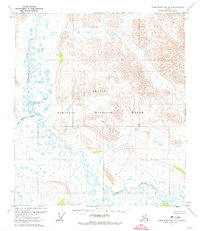
1972 · Table Mountain B-5
USGS Topo · 1:63,360
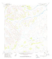
1972 · Table Mountain A-3
USGS Topo · 1:63,360
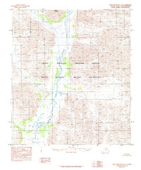
1983 · Table Mountain C-5
USGS Topo · 1:63,360
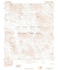
1983 · Table Mountain C-3
USGS Topo · 1:63,360