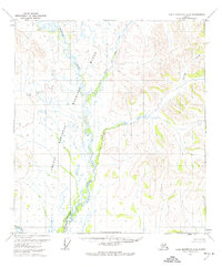
1972 Map of Table Mountain A-4
USGS Topo · Published 1974About this map
The Sheenjek River flows through the heart of this Alaskan interior landscape, defined by its braided channels and wide valley floor within the Arctic National Wildlife Range. This 1972 aerial study illustrates the complex drainage system of the Brooks Range foothills, where the river meets its East Fork amidst a network of lakes and swampy lowlands. To the east, the terrain rises sharply toward nameless peaks, punctuated by seasonal drainages like Eskimo Creek and Monument Creek. The map records a wilderness largely devoid of human structures, focused instead on the natural survey boundaries of the South Boundary Umiat Meridian. The absence of roads or established settlements emphasizes the primitive state of the Yukon-Koyukuk region during the early 1970s, providing a clear baseline for environmental history and topographic change.
Find a feature on this map
6 named features on this map. Tap any name to fly to it.
Don’t see what you’re looking for? This feature index may not catch every label — zoom into the map to look around manually.
Map Details
Editions of this 1972 Table Mountain A-4 Map
This is the sole edition of this map. No revisions or reprints were ever made.
Other maps of this area

1951 · Coleen
USGS Topo · 1:250,000

1951 · Table Mountain
USGS Topo · 1:250,000

1956 · Table Mountain
USGS Topo · 1:250,000

1956 · Coleen
USGS Topo · 1:250,000

1964 · Table Mountain
USGS Topo · 1:250,000
1972 · Coleen D-4
USGS Topo · 1:63,360
1972 · Coleen D-5
USGS Topo · 1:63,360
1972 · Table Mountain B-3
USGS Topo · 1:63,360
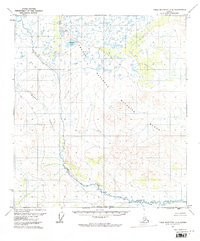
1972 · Table Mountain A-5
USGS Topo · 1:63,360
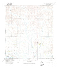
1972 · Table Mountain B-4
USGS Topo · 1:63,360