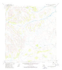
1972 Map of Table Mountain A-3
USGS Topo · Published 1974About this map
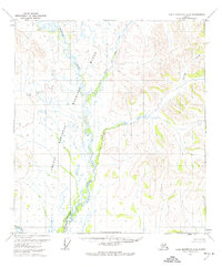
Arctic National Wildlife Range defines the high-latitude terrain of this 1972 survey, documenting a portion of the Brooks Range before its later expansion and redesignation. The landscape is primarily shaped by the drainage systems of Eskimo Creek in the northwest and Marten Creek in the southeast, which cut through unnamed peaks reaching elevations over 3,000 feet. This 1970s USGS study reflects a period of heightened federal interest in the Alaskan interior, utilizing aerial photogrammetry to map the complex topography of the Humiat Meridian and surrounding townships. The absence of roads, trails, or permanent structures across the quadrangle emphasizes the sheer isolation of this northern wilderness at the time of the survey.
Find a feature on this map
3 named features on this map. Tap any name to fly to it.
Don’t see what you’re looking for? This feature index may not catch every label — zoom into the map to look around manually.
Map Details
Editions of this 1972 Table Mountain A-3 Map
This is the sole edition of this map. No revisions or reprints were ever made.
Other maps of this area

1951 · Coleen
USGS Topo · 1:250,000

1951 · Table Mountain
USGS Topo · 1:250,000

1956 · Table Mountain
USGS Topo · 1:250,000

1956 · Coleen
USGS Topo · 1:250,000

1964 · Table Mountain
USGS Topo · 1:250,000
1972 · Coleen D-4
USGS Topo · 1:63,360
1972 · Table Mountain B-3
USGS Topo · 1:63,360
1972 · Table Mountain A-2
USGS Topo · 1:63,360
1972 · Table Mountain A-4
USGS Topo · 1:63,360
1972 · Coleen D-3
USGS Topo · 1:63,360