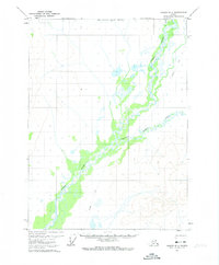
1972 Map of Coleen D-3
USGS Topo · Published 1974About this map
Coleen River dominates this portion of the Alaskan interior, its braided channel weaving through an expansive wetland complex at the start of the 1970s. The landscape is defined by the hydrologic relationship between the main river and tributaries like Strangle Woman Creek and Marten Cr. This 1972 topography, mapped from aerial photography, records a wilderness prior to significant modern development, where human passage is largely represented by a single Winter Trail cutting across the northeastern terrain. The map also delineates the North Boundary Fairbanks Meridian, a critical surveying line for land management in this remote region. This sheet captures a snapshot of the subarctic environment where low-relief swamp lands meet the rising contours of the surrounding highlands.
Find a feature on this map
5 named features on this map. Tap any name to fly to it.
Don’t see what you’re looking for? This feature index may not catch every label — zoom into the map to look around manually.
Map Details
Editions of this 1972 Coleen D-3 Map
This is the sole edition of this map. No revisions or reprints were ever made.
Other maps of this area

1951 · Coleen
USGS Topo · 1:250,000

1951 · Table Mountain
USGS Topo · 1:250,000

1956 · Table Mountain
USGS Topo · 1:250,000

1956 · Coleen
USGS Topo · 1:250,000

1964 · Table Mountain
USGS Topo · 1:250,000
1972 · Coleen D-4
USGS Topo · 1:63,360
1972 · Coleen D-2
USGS Topo · 1:63,360
1972 · Table Mountain A-2
USGS Topo · 1:63,360
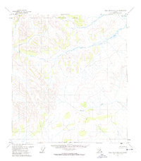
1972 · Table Mountain A-3
USGS Topo · 1:63,360
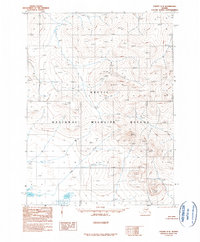
1990 · Coleen C-2
USGS Topo · 1:63,360