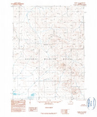
1990 Map of Coleen C-2
USGS Topo · Published 1990About this map
Arctic National Wildlife Refuge dominates this terrain in the Alaskan interior, as documented by aerial photography from the late 1970s and finalized in 1990. The landscape is defined by high-altitude peaks, including the prominent Spike Mountain, and a complex drainage system marked simply as Creek and Lake. This provisional survey reflects a time when large swaths of the northeastern Yukon-Koyukuk region remained unroaded and largely inaccessible, focusing on topographic contours and natural hydrology rather than human infrastructure. The lack of named settlements or transportation networks underscores the protected status and isolation of the refuge during this era, providing a primary record of the physical geography before modern environmental shifts.
Find a feature on this map
4 named features on this map. Tap any name to fly to it.
Don’t see what you’re looking for? This feature index may not catch every label — zoom into the map to look around manually.
Map Details
Editions of this 1990 Coleen C-2 Map
This is the sole edition of this map. No revisions or reprints were ever made.
Other maps of this area

1951 · Coleen
USGS Topo · 1:250,000

1956 · Coleen
USGS Topo · 1:250,000

1956 · Coleen B-2
USGS Topo · 1:63,360
1956 · Coleen B-1
USGS Topo · 1:63,360
1972 · Coleen D-2
USGS Topo · 1:63,360
1972 · Coleen D-1
USGS Topo · 1:63,360
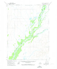
1972 · Coleen D-3
USGS Topo · 1:63,360
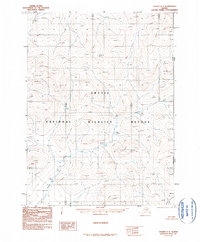
1990 · Coleen C-1
USGS Topo · 1:63,360
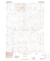
1990 · Coleen B-3
USGS Topo · 1:63,360
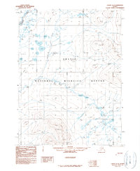
1990 · Coleen C-3
USGS Topo · 1:63,360