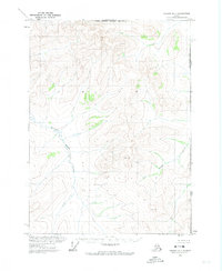
1972 Map of Coleen D-1
USGS Topo · Published 1974About this map
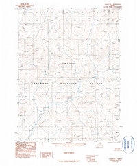
Alaska Yukon borderlands are defined by the remote high-latitude terrain of this early 1970s survey. The landscape is dominated by the upper reaches of Strangle Woman Creek and the meandering path of Potato Creek as they drain through the mountainous North Boundary of the Fairbanks Meridian. This map documents a wilderness at the far eastern edge of the state, where the international boundary between the United States and Canada is the primary human-imposed line across a trackless geography. Topography here was derived from photogrammetric methods from 1972 aerial photographs, capturing the drainage patterns and peaks of the Coleen quadrangle before modern digital mapping. The absence of roads, trails, or settlements reflects the extreme isolation of this arctic environment.
Find a feature on this map
5 named features on this map. Tap any name to fly to it.
Don’t see what you’re looking for? This feature index may not catch every label — zoom into the map to look around manually.
Map Details
Editions of this 1972 Coleen D-1 Map
This is the sole edition of this map. No revisions or reprints were ever made.
Other maps of this area

1951 · Coleen
USGS Topo · 1:250,000

1951 · Table Mountain
USGS Topo · 1:250,000

1956 · Table Mountain
USGS Topo · 1:250,000

1956 · Coleen
USGS Topo · 1:250,000

1964 · Table Mountain
USGS Topo · 1:250,000
1972 · Coleen D-2
USGS Topo · 1:63,360
1972 · Table Mountain A-1
USGS Topo · 1:63,360
1990 · Coleen C-2
USGS Topo · 1:63,360
1990 · Coleen C-1
USGS Topo · 1:63,360
2018 · Coleen D-1 SW
USGS Topo · 1:25,000