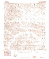
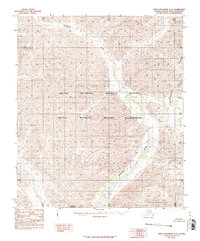
1983 Map of Table Mountain C-4
USGS Topo · Published 1984About this map
The North Slope Borough of Alaska presents an unyielding landscape of high-latitude terrain within this 1974-photographed study. Situated north of the Arctic Circle, the area is defined entirely by its natural topography, lacking any named settlements, roads, or man-made structures at the time of the survey. The map's primary data points are its township and range lines, such as the intersection of R 38 E R 39 E and T 9 S T 10 S, which provide a vital coordinate system for a region where traditional landmarks are absent. This 1983 edition, compiled by the U.S. Geological Survey and NOS/NOAA, reflects the era's reliance on aerial photography for documenting the remote Brooks Range foothills, serving as a baseline for environmental and geological research in the Alaskan wilderness.
Find a feature on this map
6 named features on this map. Tap any name to fly to it.
Don’t see what you’re looking for? This feature index may not catch every label — zoom into the map to look around manually.
Map Details
Editions of this 1983 Table Mountain C-4 Map
2 editions found
Other maps of this area

1951 · Table Mountain
USGS Topo · 1:250,000

1956 · Table Mountain
USGS Topo · 1:250,000

1964 · Table Mountain
USGS Topo · 1:250,000
1972 · Table Mountain B-3
USGS Topo · 1:63,360
1972 · Table Mountain B-4
USGS Topo · 1:63,360
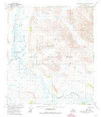
1972 · Table Mountain B-5
USGS Topo · 1:63,360
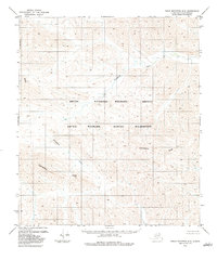
1983 · Table Mountain D-4
USGS Topo · 1:63,360
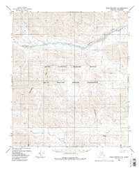
1983 · Table Mountain D-3
USGS Topo · 1:63,360
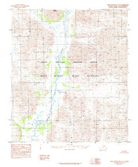
1983 · Table Mountain C-5
USGS Topo · 1:63,360
1983 · Table Mountain D-5
USGS Topo · 1:63,360