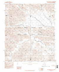
1983 Map of Table Mountain C-4
USGS Topo · Published 1987About this map
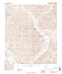
The Coleen River winds through the northern reaches of this Brooks Range landscape, where the shifting channels of the East Fork Sheenjek River cross the southwestern corner. This terrain is defined by dramatic elevation changes, notably at Conglomerate Mountain, which stands as a prominent landmark within the Arctic Wildlife Refuge Wilderness. As a provisional map based on 1974 photography, it documents the topography of the Arctic National Wildlife Refuge before modern digital revisions. The absence of roads or established settlements emphasizes the undisturbed character of this remote subarctic region, where drainage patterns and natural contours are the primary features for navigation.
Find a feature on this map
11 named features on this map. Tap any name to fly to it.
Don’t see what you’re looking for? This feature index may not catch every label — zoom into the map to look around manually.
Map Details
Editions of this 1983 Table Mountain C-4 Map
2 editions found
Other maps of this area

1951 · Table Mountain
USGS Topo · 1:250,000

1956 · Table Mountain
USGS Topo · 1:250,000

1964 · Table Mountain
USGS Topo · 1:250,000
1972 · Table Mountain B-3
USGS Topo · 1:63,360
1972 · Table Mountain B-4
USGS Topo · 1:63,360
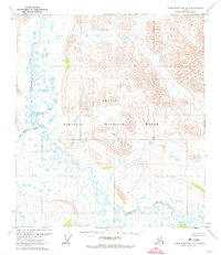
1972 · Table Mountain B-5
USGS Topo · 1:63,360
1983 · Table Mountain D-4
USGS Topo · 1:63,360
1983 · Table Mountain D-3
USGS Topo · 1:63,360
1983 · Table Mountain C-5
USGS Topo · 1:63,360
1983 · Table Mountain D-5
USGS Topo · 1:63,360